|
|
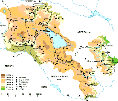
| Location: |
South
Caucasus |
| Geographic
coordinates: |
40 00 N, 45 00 E
|
| Map references: |
Commonwealth of
Independent States |
| Total: |
29,800 sq km |
| Land: |
28,400 sq km |
| Water: |
1,400 sq km |
| Area-comparative:
|
slightly smaller
than Maryland |
| Land boundaries:
|
Total: 1,254 km
|
| Border countries:
|
Azerbaijan-proper
566 km, Azerbaijan
-Naxchivan exclave 221 km, Georgia 164
km, Iran 35 km, Turkey 268 km |
| Climate: |
highland
continental, hot summers, cold winters |
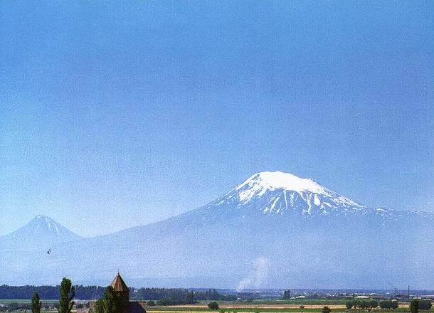
| Terrain: |
Armenian Highland
with mountains; little forest land; fast flowing rivers;
good soil in Aras River valley |
| lowest point: |
Debed River 400 m
|
| highest point: |
Aragats Lerr 4,095
m | |
|
|
| |